
Here's some info on Dupont. It's located in the community of Cedar Mountain off Highway 276. It's about twenty minutes from Brevard, North Carolina and one hour from Greenville, South Carolina.
Take Cascade Lake Road off Highway 276. Go about 500 feet and turn right on Reasonover Road. This goes for about 2.5 miles then splits. Pinnacle Mountain Road goes left and Green River Road continues straight.
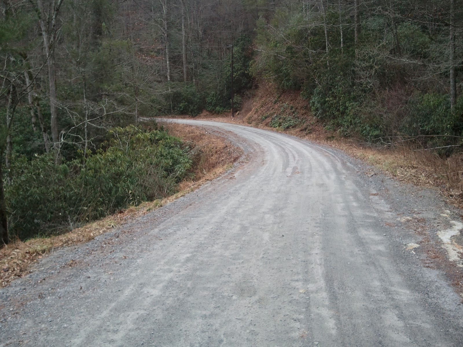
Green River Road is an easy gravel road to drive. It goes for four miles and takes you back to US 25 in North Carolina. It was a little rough due to all the rain but it is just a nice drive through the woods and can be driven in any vehicle.
Pinnacle Mountain Road goes into Dupont State Forest. The road is about six miles long. Not too bad going up. When you get to the top there are a couple spots there are a little rough. Good tires and maybe six inches ground clearance should work. The biggest issue is on the top part where there is logging going on. This is about a two mile stretch. They keep it graded pretty good and it's easy going when it's dry. It was a little wet and muddy when I was there today. If it's too wet, you may need 4wd or AWD. I'm going to try to make it back up after a good rain and test it. The views are good, but it's being clear cut and looks barren.
Pinnacle Mountain continues on to Hendersonville. Take a left at Sky Valley Road to go back to Dupont. This is another gravel road and it goes for 4.5 miles. Pretty easy going though. Dupont State Forest has over eighty miles of hiking, biking, and horse trails. Some waterfalls and plenty of good views. Plenty of places to park and gain access to the trails.
There are two pics of Green River Road. The rest are for Pinnacle Mountain Road.


Another option outlined by Randall while visiting this area is:
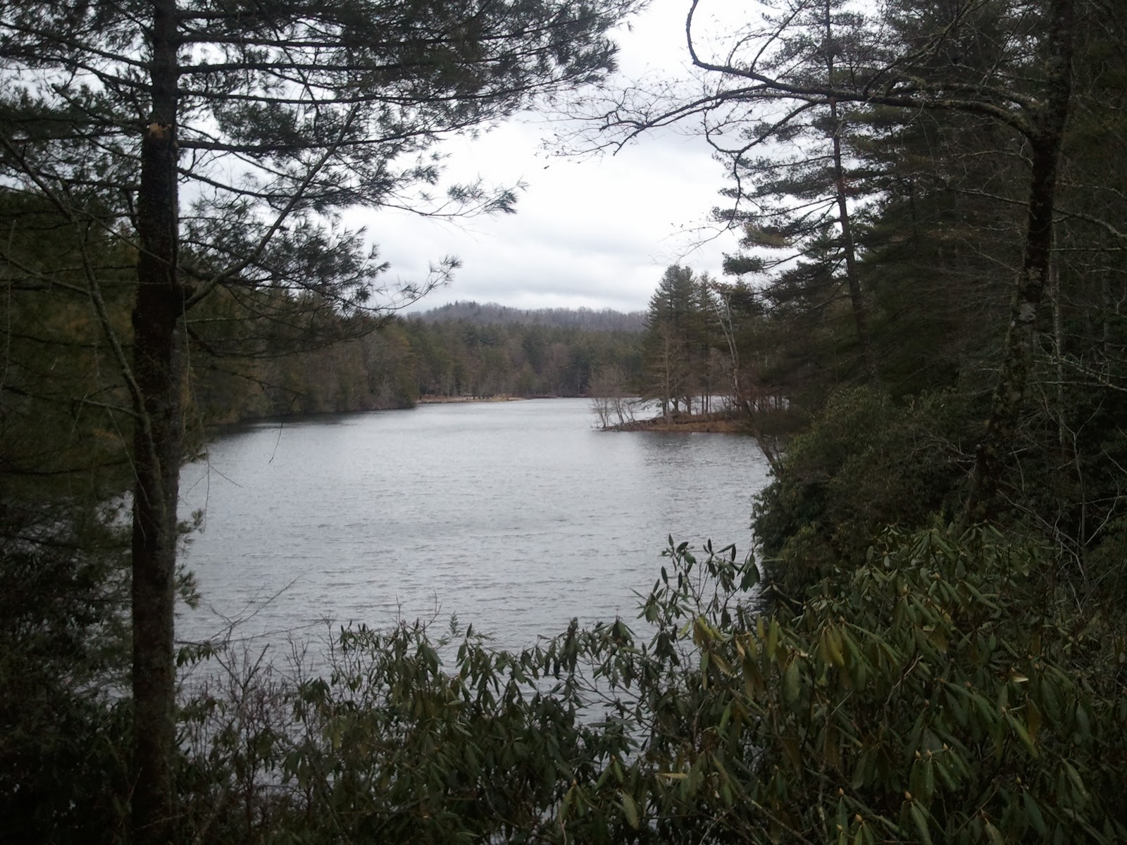
Here is some info on Cascade Lake Road. Instead of turning right on Reasonover Road, you stay straight on Cascade Lake Road for about 4 miles. The road then turns to gravel. This part is about five miles long and is in good shape and can be driven in any vehicle. You have good views of Cascade Lake which is about two miles long, and then the gorge after the water releases from the dam. This road skirts Dupont State Forest and you can loop back into Dupont by turning at Crab Creek Road, or continue on to Highway 64 outside of Brevard, North Carolina.

Thanks again for the great information and pics, Randall!
-David


No comments:
Post a Comment
Please enter your comments here: